MAGIC at the Leatherby Libraries Learn More About How Spatial Data Shapes Research, Decision-Making, and Everyday Life
September 25, 2025
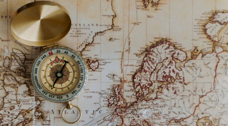
Maps and Geographic Information Systems (MAGIC) is a field of geography where researchers collect, analyze, and visualize spatial data. Researchers, land-use planners, and scientists can use Geographic Information Systems (GIS) to understand physical regions better and create more valuable maps and navigational products.
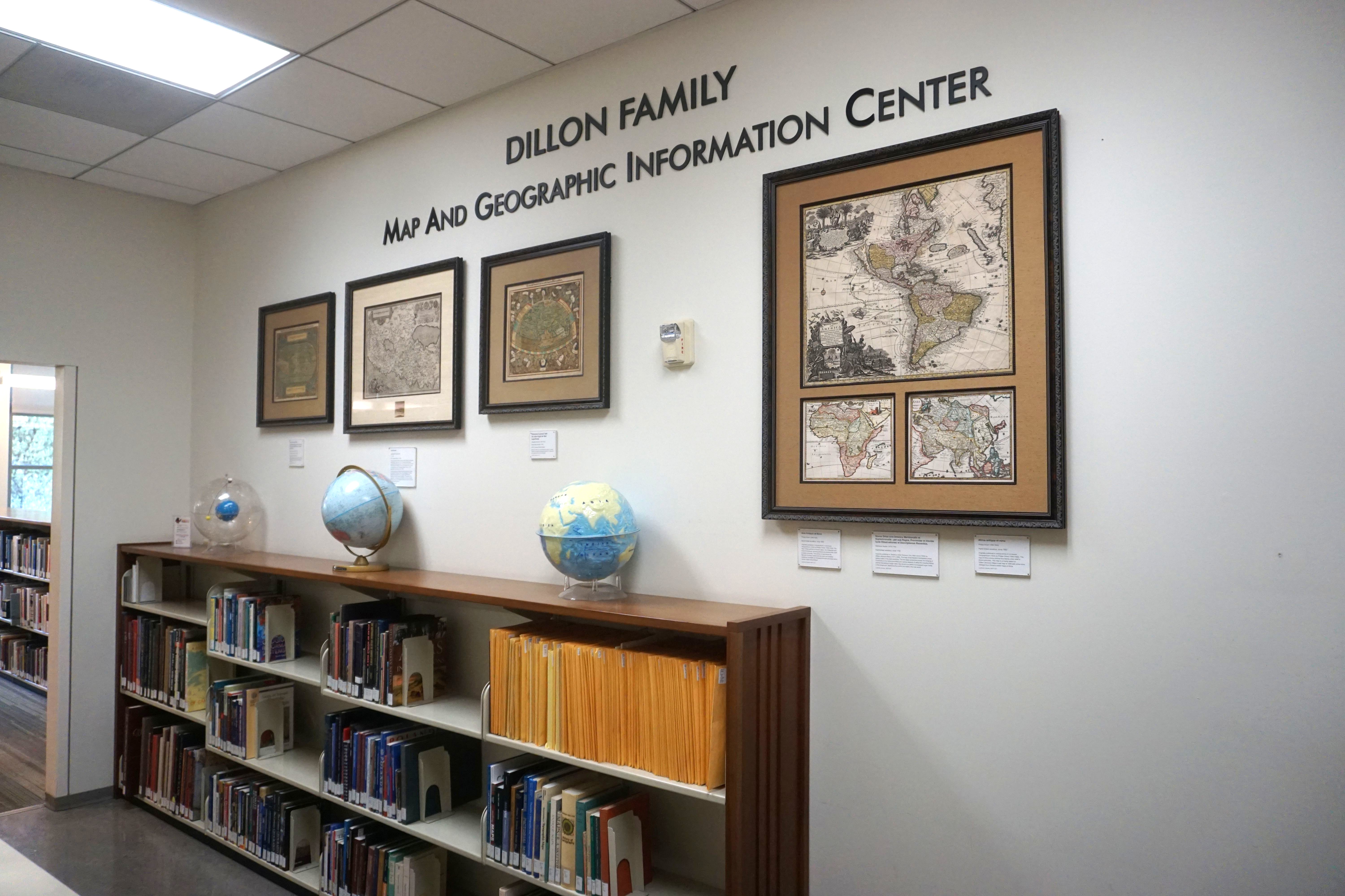
Visit the MAGIC Alcove on the second floor of the Leatherby Libraries to find additional materials and MAGIC resources, including paper maps and print atlases.
Geographic information systems (GIS) are spatial systems that create, analyze, and map data types. It integrates hardware, software, and data to take real-world locations and combine them with data to create an informational map. For example, we use GIS whenever we use Apple Maps on our phones to see specific buildings, locations, and street names!
GIS’s primary purpose is to use mapped data to make more informed decisions. The visual and spatial view of data helps users understand patterns and relationships about information in a particular area. Wildfire and earthquake maps are great examples as they provide times, locations, and severity of natural disasters to inform people about potential dangers, prepare accordingly, and make necessary evacuation or safety plans.
MAGIC Resources at the Leatherby Libraries
The MAGIC LibGuide is a resource tool that can help with research and understanding GIS! Our librarians created this subject guide to help students find information, books, articles, and digital resources about geography and GIS.
Brand-New MAGIC Workshops & Instructional Videos
Our Digital Archives Technician, Brian Song, recently recorded multiple videos to help the Chapman University community better understand MAGIC and how they can use it in their research and academic journeys. Check out the links below to better understand GIS and MAGIC and how to use them to add depth to your research.
Introduction to GIS Series
Basic Map Creation Series
- How to Search for Data Files
- How to Add Data Files in ArcGIS Pro
- Symbology and Labels
- Sharing Your Map
Analyzing Your Data
Performing Spatial Analysis Series
A two-part workshop series on performing spatial analysis is coming soon this fall! Stay tuned for information about these workshops.
For those eager to explore the depths of MAGIC, the MAGIC LibGuide is a great starting point, compiling an extensive collection of maps, datasets, research tools, and educational materials. These tools help explore the power of GIS and its impact on our world. Check out the recommended resources to locate GIS-related articles, mapping data, and software, and access workshop resources.
For any questions about GIS resources at the Leatherby Libraries, please contact our STEM Librarian, Dr. Elaine Yeung, at eyeung@chapman.edu.