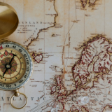
MAGIC at the Leatherby Libraries Learn More About How Spatial Data Shapes Research, Decision-Making, and Everyday Life
Maps and Geographic Information Systems (MAGIC) is a field of geography where researchers collect, analyze, and visualize spatial data. Researchers, land-use planners, and scientists can use Geographic Information Systems (GIS) to understand physical regions better and create more valuable maps and navigational products. Geographic information systems (GIS) are spatial systems that create, analyze, and map